Here is How Archaeologists Excavate Sites
Previously on StoneAgeMan, we discussed how archaeologists find sites. But, once a promising site has been identified, how do archaeologists excavate it? Here, we will detail the process, which more often than not, involves a lot more than just digging.
First, no two excavations are the same: how one unearths a site will depend on a host of factors that might include the area’s terrain; funding, time and crew-size constraints; and the guiding research questions. However, there are two overarching excavation styles called the Wheeler box-grid method and open-area excavation.
Wheeler Box-Grid Method vs. Open-Area Excavation
Wheeler box-grid
The Wheeler box-grid method involves dividing an archaeological site into a series of orderly squares with uniform spaces – or balks – between them. Teams of workers will then remove the dirt within the squares, and as they dig, the balks become walls that reveal the stratigraphy of the site: the layers of soil that have built up over time. Archaeologists can then use this stratigraphy to help date the artifacts and features that they find.
The Wheeler box-grid method is still popular in regions like South Asia, but it has fallen out of favor in other parts of the world due to its rigidity. A more flexible and widely-used excavation method is called open-area excavation.
Open-area excavation
Open-area excavation still consists of digging in pre-designated squares – called units – but they are not always laid out in a formal grid pattern. Units in the open-area method can be spread out or close together, depending on the site characteristics and the main research questions. Another difference between open-area excavation and the Wheeler box-grid method is that the former style does not always leave formal balks between units. Thus, open-area excavation requires precise measurements and documentation to record the all-important context of a site.
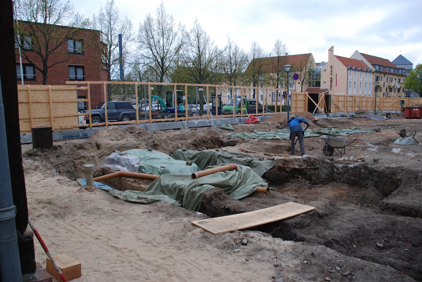
This archaeologist is definitely not using the Wheeler box-grid method. The Excavation by Odense Bys Museer. CC BY-SA 2.0.
Working on an Excavation
To give some idea of what it is like to work on an archaeological dig, I would like to describe my excavation experiences – all of which have followed the open-area method.
The first step on all the excavations I worked on was to define our units. We used tape measures to carefully delineate exact squares whose dimensions were usually 1 x 1 metre, but sometimes 1 x 1.5 metres. My teammates and I then placed stakes at each corner of the units and tied them together with brightly-colored string, double-checking our measurements as we went.
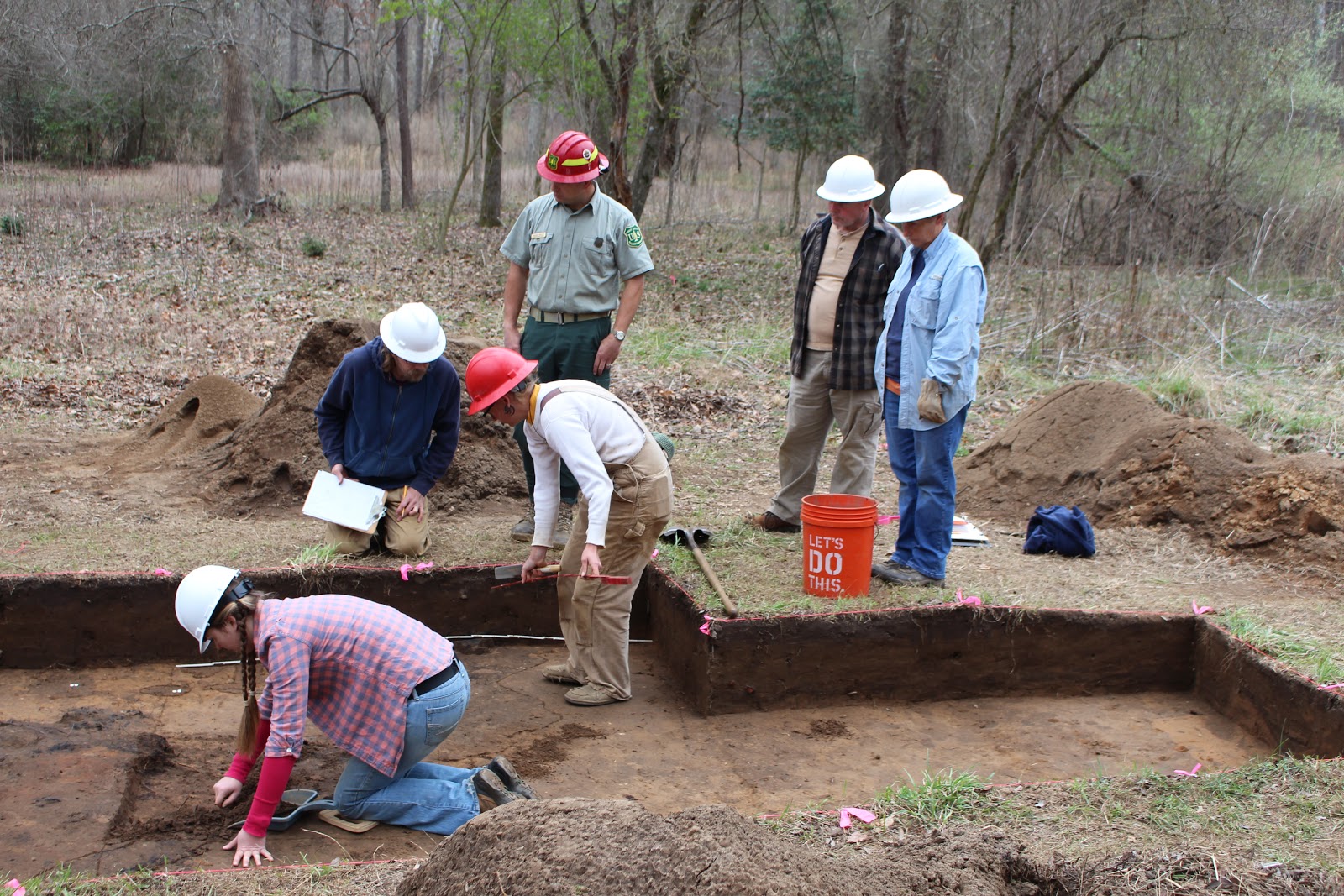
A team of archaeologists excavating a site; note the perfectly-shaped walls. IMG_4681 by ChattOconeeNF. CC BY 2.0.
Once our units had been outlined, it was time to dig – by which I mean scrape.
Very rarely did I dig with shovels on my excavations, aside from removing the topmost layers of soil in an agricultural field that had been mixed-up by plowing (known as the plow zone). Almost invariably, what we actually did was take small garden trowels and turn them on their sides. We then slowly scraped the soil away with the sides of our trowels, gripping them where the handles met the shovel portions.
As we removed the dirt, we scooped it into buckets. We had metal screens set up close to our units, and when the buckets were full we dumped them on the screens and sifted through their contents to make sure we had not missed any artifacts. It can be difficult to distinguish broken pieces of pottery from rocks, and the same goes for stone tools – called lithics. This meant that my colleagues and I had to work together to avoid accidentally throwing away artifacts.
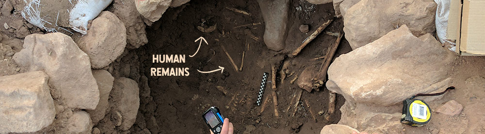
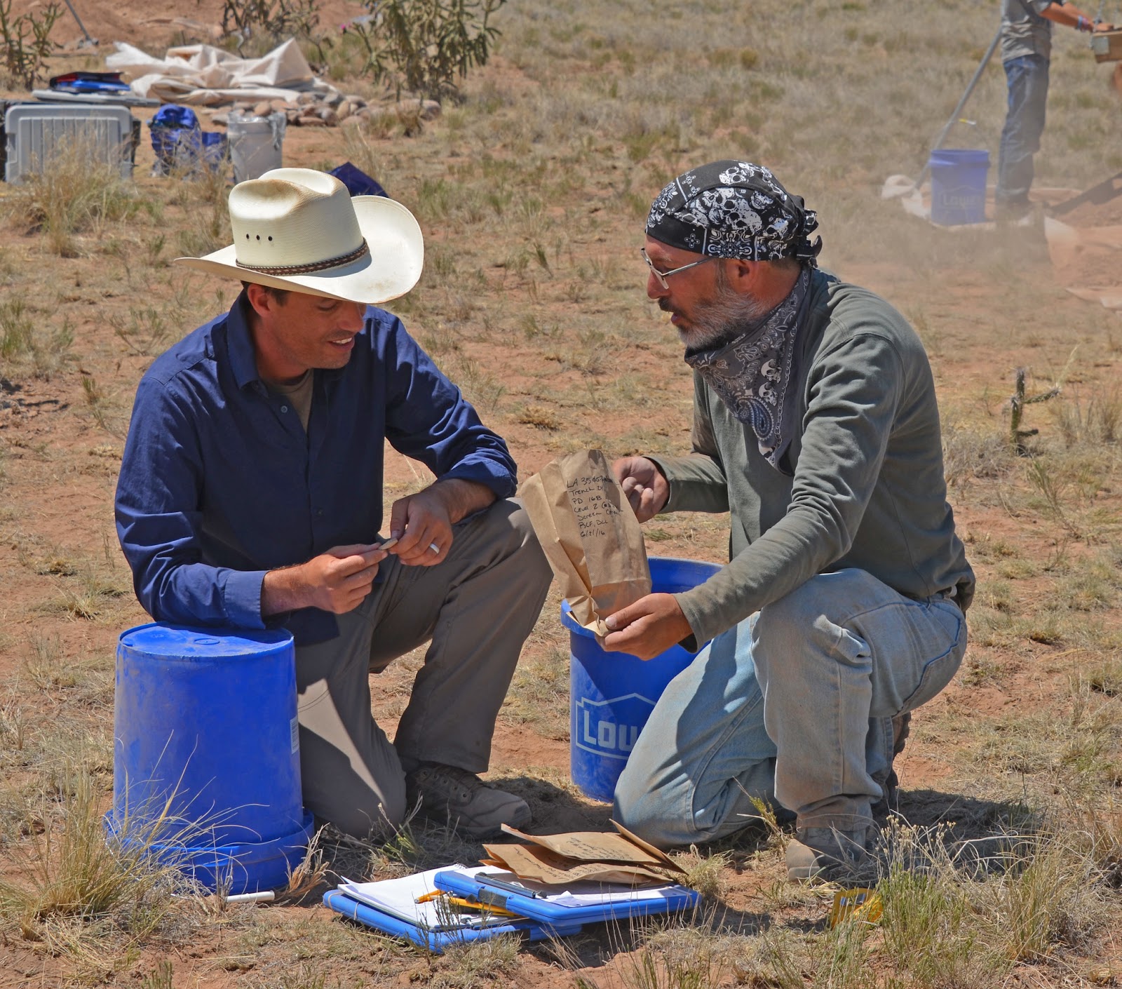
We placed any artifacts we found into bags on which we wrote the site name, the unit, and the level of the unit in which we had found the artifacts (e.g. “Unit 1 Level B”). In Belize, we had separate bags for ceramic, lithic, organic, and other types of artifacts. This detailed recording is essential, because when you excavate a site you destroy its context. Thus, without detailed records, it would be difficult to learn anything from an excavation.
Archaeologists placing a ceramic artifact into a carefully-labeled bag. Archaeological Field School by U.S. Army Corps of Engineers. Public Domain.
Record-Keeping on Excavations
Apart from labeling all of the artifacts we found while screening, my teammates and I also documented the locations of all the features and noteworthy artifacts that we found inside our units. This was not easy.
When we uncovered a feature or a diagnostic artifact – like a projectile point that was intact enough to determine which group of people may have made it – we had to map it. To do this, we first dangled a plum bob from a string at a 90º angle above the object. We then lined up a tape measure with the string, and recorded the depth of the object in centimeters.
In addition to measuring the depth of features and artifacts, we also recorded how far they were from their units’ walls. We thus knew how far down important finds were, and where they were located horizontally. We used these measurements, along with notes about the changes in soil types within our units to draw detailed side-profiles and plan-maps of our units.
Furthermore, we took meticulous photographs of each unit at several stages during their excavations.

The photographs taken during archaeological excavations need to be labeled too. Grand Archaeology – IMG_0566 by Grand Canyon National Park. CC BY 2.0.
These measurements, profiles, and photographs were a pain to generate in the field – especially in the jungle – but without them our excavations would have had little scientific value: archaeologists need these notes to interpret the finds they make in the field.
Key Take-Aways
Hopefully this short article has provided some idea of how archaeologists excavate sites. The most important points to remember are:
- Much of the “digging” in archaeology is comprised of carefully scraping away dirt with a trowel.
- Everything – including the locations of artifacts and features, the profiles and layouts of units, and each layer of soil – must be recorded during a dig. These measurements, drawings, and photos preserve the context of a site after it has been destroyed, and this context helps archaeologists generate knowledge about humanity’s past.
If you want to learn more about archaeological excavations, contact your state, provincial, or local archaeological societies and ask about volunteering – the best way to learn about archaeology is to do it! (is there a link we can send people to? Maybe a list of state archeological societies?
Sources
McMillon, B. (1991). The archaeology handbook: A field manual and resource guide. New York, NY: John Wiley & Sons, Inc.
Renfrew, C., & Bahn, P. (2015). Archaeology essentials (3rd Ed.). London: Thames & Hudson.